
Pakistan shares borders with Afghanistan (2,670 km), India (3,323 km), Iran (909 km), and China (523 km). The Pakistan–Afghanistan border is commonly known as the Durand Line. It runs through the provinces of Khyber Pakhtunkhwa and Balochistan. The border stretches from the Wakhan Corridor in the north to Balochistan in the south.
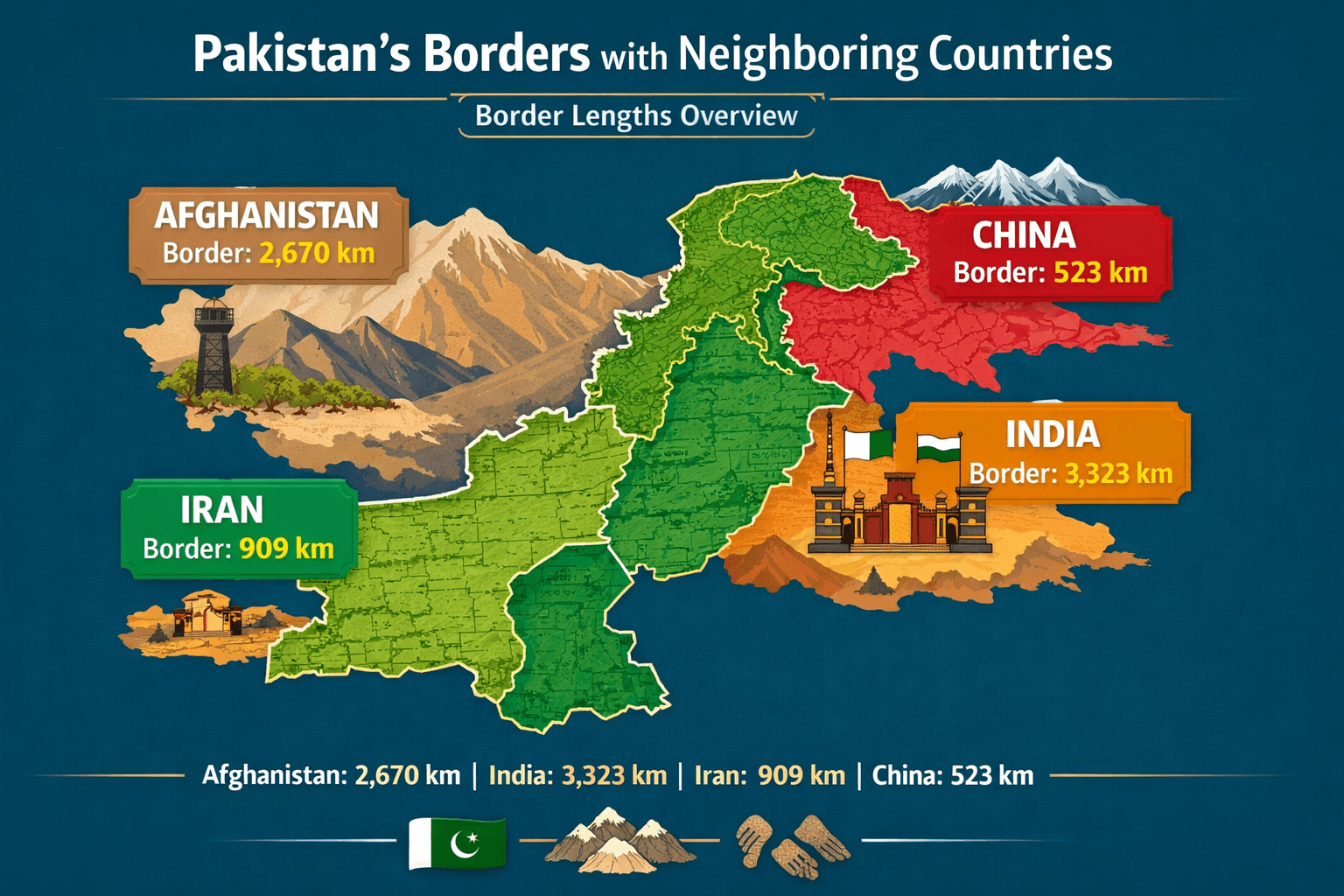
- Longest Border: India (3,323 km)
- Second Longest: Afghanistan (2,670 km)
Strategic Importance:
- Afghanistan border: security, refugee movement, trade
- India border: military and political sensitivity
- China border: trade route (CPEC)
- Iran border: trade and energy corridor
MCQs: Pakistan Border Lengths
Q1. What is the approximate length of Pakistan’s border with Afghanistan?
A) 1,800 km
B) 2,670 km
C) 3,000 km
D) 3,323 km
✅ Answer: B) 2,670 km
Q2. Pakistan shares its longest border with which country?
A) Afghanistan
B) China
C) India
D) Iran
✅ Answer: C) India
Q3. How long is Pakistan’s border with China?
A) 400 km
B) 523 km
C) 600 km
D) 909 km
✅ Answer: B) 523 km
Q4. The Pakistan–Iran border passes through which province?
A) Punjab
B) Balochistan
C) Sindh
D) Khyber Pakhtunkhwa
✅ Answer: B) Balochistan
| Neighboring Country | Border Length (Approx.) | Key Notes |
|---|---|---|
| Afghanistan | 2,670 km | Known as the Durand Line; passes through Khyber Pakhtunkhwa and Balochistan; strategic for trade and security |
| India | 3,323 km | Includes the Line of Control (LoC) in Kashmir; borders Punjab, Sindh, and Balochistan provinces |
| Iran | 909 km | Southern Balochistan border; includes Chaman–Taftan border crossing for trade |
| China | 523 km | Northern Gilgit-Baltistan; includes the Khunjerab Pass; strategic Silk Road connection |